Natural Resources Canada | Ressources naturelles CanadaGovernment of Canada | Gouvernement du Canada
FrançaisContact CCRSCCRS Site HelpSearch the CCRS WebsiteGovernment of Canada web site
Canada Centre for Remote SensingHome page of the Canada Centre for Remote SensingDetailed Listing of this SiteTechnical publications of CCRS staffExplanations of remote sensing terminology.Natural Resources Canada
Staff and organizationCCRS research programsImages and SensorsLearning aids and reference materialsThe Canadian remote sensing community

Table of Contents
1. Introduction
2. Sensors
3. Microwaves
4. Image Analysis
5. Applications

Home > LearningTutorials

Fundamentals of Remote Sensing


Chapter 4


4.2 Did You Know?

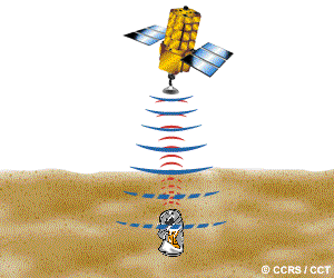
Sometimes the 'impression' that a buried artifact, such as an ancient fort foundation, leaves on the surface, can be detected and identified

"...What will they think of next ?!..."

Remote sensing (image interpretation) has been used for archeological investigations. Sometimes the 'impression' that a buried artifact, such as an ancient fort foundation, leaves on the surface, can be detected and identified. That surface impression is typically very subtle, so it helps to know the general area to be searched and the nature of the feature being sought. It is also useful if the surface has not been disturbed much by human activities.

Section 4.2 Whiz Quiz Section 4.3


Updated2002-08-21 go to top of page Important Notices