| Table of Contents |
| 1. Introduction 2. Sensors 3. Microwaves 4. Image Analysis 5. Applications |
Fundamentals of Remote Sensing
2.12 Did You Know?
"...Land, Ho, matey!..."
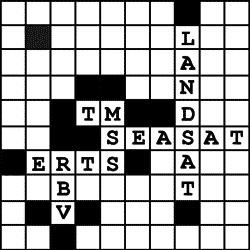
...the ERTS (Earth Resources Technology Satellite) program was renamed to Landsat just prior to the launch of the second satellite in the series. The Landsat title was used to distinguish the program from another satellite program in the planning stages, called Seasat, intended primarily for oceanographic applications. The first (and only) Seasat satellite was successfully launched in 1978, but unfortunately was only operational for 99 days. Even though the satellite was short-lived and the Seasat program was discontinued, it collected some of the first RADAR images from space which helped heighten the interest in satellite RADAR remote sensing. Today, several RADAR satellites are operational or planned. We will learn more about RADAR and these satellites in the next chapter.

...originally the MSS sensor numbering scheme (bands 4, 5, 6, and 7) came from their numerical sequence after the three bands of the RBV (Return Beam Vidicon) sensors. However, due to technical malfunctions with the RBV sensor and the fact that it was dropped from the satellite sensor payload with the launch of Landsat-4, the MSS bands were renumbered from 1 to 4. For the TM sensor, if we look at the wavelength ranges for each of the bands, we see that TM6 and TM7 are out of order in terms of increasing wavelength. This was because the TM7 channel was added as an afterthought late in the original system design process.
| Updated2002-08-21 | Important Notices |
