| Table of Contents |
| 1. Introduction 2. Sensors 3. Microwaves 4. Image Analysis 5. Applications |
Fundamentals of Remote Sensing
2.2 Did You Know?
"...the forecast calls for scattered clouds with the possibility of rain..."
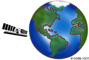
...most of the images you see on television weather forecasts are from geostationary satellites. This is because they provide broad coverage of the weather and cloud patterns on continental scales. Meteorologists (weather forecasters) use these images to help them determine in which direction the weather patterns are likely to go. The high repeat coverage capability of satellites with geostationary orbits allows them to collect several images daily to allow these patterns to be closely monitored.

...satellites occasionally require their orbits to be corrected. Because of atmospheric drag and other forces that occur when a satellite is in orbit, they may deviate from their initial orbital path. In order to maintain the planned orbit, a control center on the ground will issue commands to the satellite to place it back in the proper orbit. Most satellites and their sensors have a finite life-span ranging from a few to several years. Either the sensor will cease to function adequately or the satellite will suffer severe orbit decay such that the system is no longer useable.
| Updated2002-08-21 | Important Notices |
