| Table of Contents |
| 1. Introduction 2. Sensors 3. Microwaves 4. Image Analysis 5. Applications |
Fundamentals of Remote Sensing
3.7 Did You Know?
"...we've picked up an unidentified moving object on the radar, sir..."
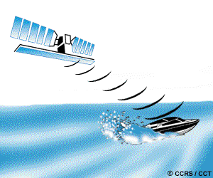
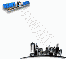
... besides being able to determine terrain height using interferometry, it is also possible to measure the velocity of targets moving towards or away from the radar sensor, using only one pass over the target. This is done by recording the returns from two antennas mounted on the platform, separated by a short distance in the along-track or flight direction. The phase differences between the returns at each antenna are used to derive the speed of motion of targets in the illuminated scene. Potential applications include determination of sea-ice drift, ocean currents, and ocean wave parameters.
![]()
![]()
| Updated 2002-11-27 | Important Notices |