| Table of Contents |
| 1. Introduction 2. Sensors 3. Microwaves 4. Image Analysis 5. Applications |
Fundamentals of Remote Sensing
2.10 Did You Know?
"...scanning for warm-bodied life forms, captain... "
...that, just as in aerial photography, some thermal scanner systems view the surface obliquely. Forward-Looking Infrared (FLIR) systems point ahead of the aircraft and scan across the scene. FLIR systems produce images very similar in appearance to oblique aerial photographs and are used for applications ranging from forest fire detection to law enforcement.

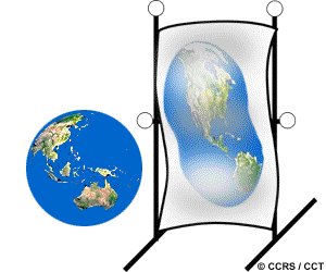
...many systematic, or predictable, geometric distortions can be accounted for in real-time (i.e. during image acquisition). As an example, skew distortion in across-track scanner imagery due to the Earth's rotation can be accurately modeled and easily corrected. Other random variations causing distortion cannot be as easily modeled and require geometric correction in a digital environment after the data have been collected. We will discuss this topic in more detail in Chapter 4.
| Updated2002-08-21 | Important Notices |
