| Table of Contents |
| 1. Introduction 2. Sensors 3. Microwaves 4. Image Analysis 5. Applications |
Fundamentals of Remote Sensing
2.10 Whiz Quiz
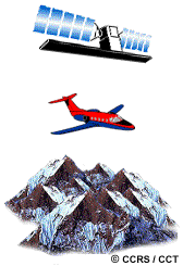
If you wanted to map a mountainous region, limiting geometric distortions as much as possible, would you choose a satellite-based or aircraft-based scanning system? Explain why in terms of imaging geometry.
The answer is ...
![]()

![]()
| Updated2002-08-21 | Important Notices |