
| Table of Contents |
| 1. Introduction 2. Sensors 3. Microwaves 4. Image Analysis 5. Applications |
Fundamentals of Remote Sensing
5.3.2 Did You Know?
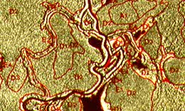
Forest interpretation from SAR data
Interpreting forest cover type with radar data is very similar to interpreting multispectral images. The same interpretation elements are used (tone, texture, shape, pattern, size, association), but texture plays a dominant role in the discrimination of different forest types. Viewing the images in stereo helps to differentiate relative tree heights, as well as define rivers that have specific vegetation along their banks.
![]()
![]()
| Updated2002-08-21 | Important Notices |