| Table of Contents |
| 1. Introduction 2. Sensors 3. Microwaves 4. Image Analysis 5. Applications |
Fundamentals of Remote Sensing
2.10 Whiz Quiz Answers
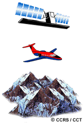
Although an aircraft scanning system may provide adequate geometric accuracy in most instances, a satellite scanner would probably be preferable in a mountainous region. Because of the large variations in relief, geometric distortions as a result of relief displacement would be amplified at aircraft altitudes much more than from satellite altitudes. Also, given the same lighting conditions, shadowing would be a greater problem using aircraft imagery because of the shallower viewing angles and would eliminate the possibility for practical mapping in these areas.
Back to the question...
![]()

![]()
| Updated2002-08-21 | Important Notices |